traffic studies
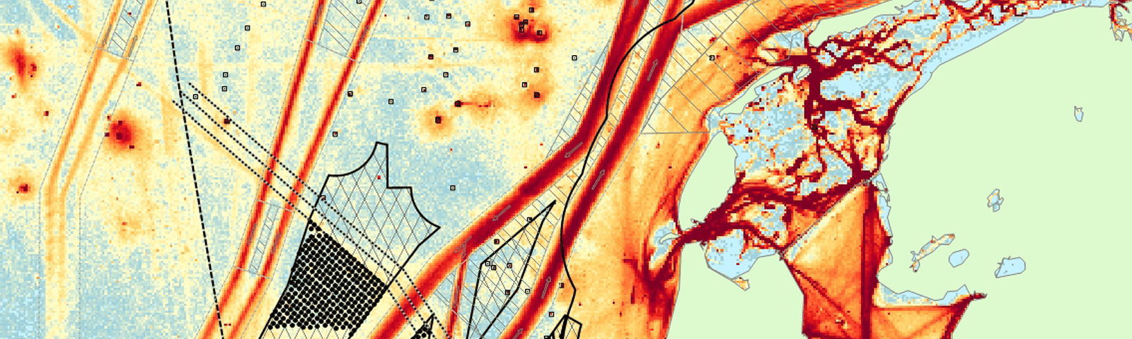
How many ships pass the Dutch coast each day? What is their size and speed? How much CO2 do they emit? Typical questions of the government when making decisions regarding the spatial planning of the North Sea or other infrastructural changes. MARIN can give the answers by analysing AIS data. A good example is our network evaluation, an AIS analysis executed for Rijkswaterstaat every two years. The traffic analysis forms the basis for the further risk assessment and safety studies model (e.g. SAMSON).
AIs
The Automatic Identification System (AIS) has been developed as a collision avoidance system for seagoing vessels. Nowadays not only seagoing vessels but also inland vessels have an AIS transmitter onboard. In our traffic analyses we are keen to protect the identity of the individual ships. Results are only presented anonymous or on an aggregated level.
Contact

Yvonne Koldenhof
senior project manager | team leader
RISK ASSESSMENT | AIS TRAFFIC DENSITY MSC ZOE
downloads
SAMSON | Safety Assessment Models for Shipping and Offshore in the North Sea (leaflet)
Netwerkevaluatie Noordzee 2018-2019
Inventariserend onderzoek nr vermindering stikstofemissie door snelheidsbeperking scheepvaart (2020)
Richtlijnen Vaarwegen 2020
Richtlijnen Rivieren - Bruggen (2020)
Richtlijnen Rivieren - Crossings (2020)
Richtlijnen Rivieren - Vormgeving van en inrichting rond stuwen (2020)
Nautische evaluatie Tijdelijke pontverbinding Zeeburgereiland (2020)